Carlson Boretrak®3
Accurately measure boreholes at any inclination
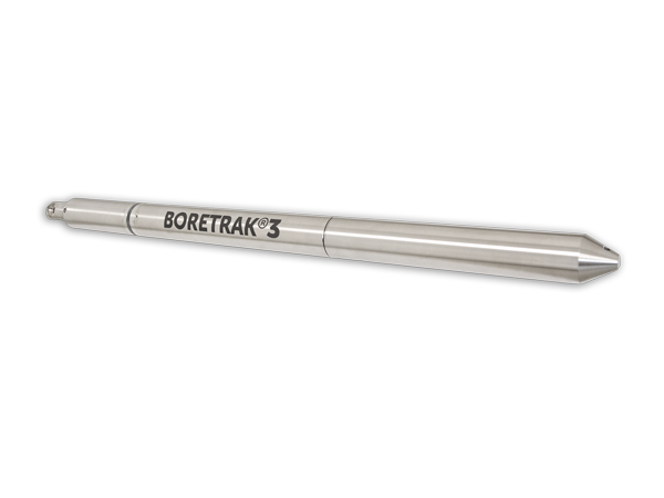
The Boretrak®3 borehole deviation measurement system is a simple-to-use, gyro-based system for measuring the deviation of boreholes at any drill hole operation such as underground mines, on the surface, in quarries, open-pit operations, and civil works.
As a successor to the widely used Boretrak2, the fundamental capabilities of the Boretrak3 are backed by over 35 years of in-the-field history. The Boretrak3 combines this experience into a single, all-purpose unit capable of measuring boreholes in any inclination: down, up or horizontal.
Together with Carlson Boretrak software, the Boretrak3 provides a simple to use system for checking the accuracy of drilled holes and their deviation from design.
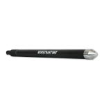
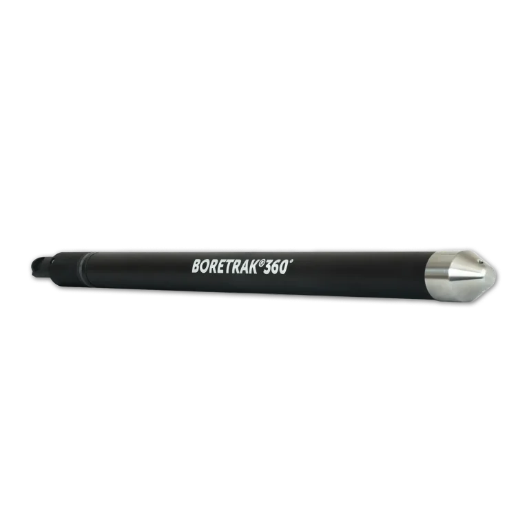
Carlson Boretrak®360
Uphole Drill Hole Deviation Device
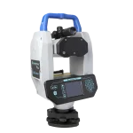
The Boretrak360º borehole deviation measurement system is a simple-to-use, gyro-based system for measuring the deviation of uphole and horizontallly drilled boreholes. This specific system is used for underground operations to ensure safety and security for mining personnel. Paired with the Carlson Boretrak® software this system provides an all in one workhorse to peace of mind underground.
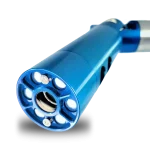
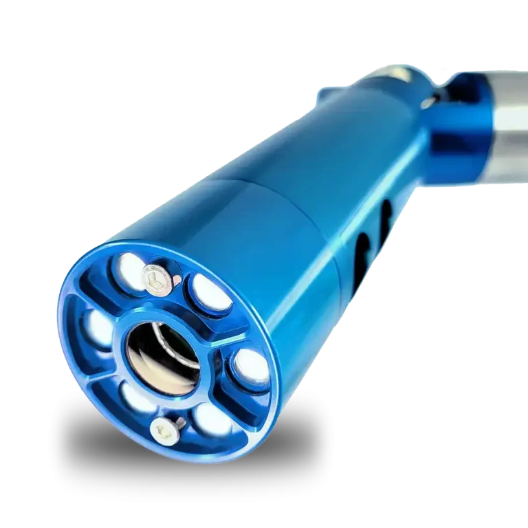
Carlson C-ALS® HD
Advanced Underground Laser Scanning and High-Definition Visualization System
Unlock the power of advanced underground laser scanning and visualization with the Carlson C-ALS HD. Engineered to revolutionize stope inspection and mining applications, this cutting-edge system offers unparalleled precision, high-definition visualization, and comprehensive mapping capabilities.
- High-definition camera: The integrated high-definition camera provides full HD (1920 x 1080) for photo and video
- Slip Ring Drum Deployment: The new slip ring drum introduces quicker and controlled cable deployment
- Joystick Control: The joystick controls added into the included deployment software, Carlson Scan, provides free-moving capability when it comes to the nosecone
- Daylight Payload: The 874-lumen daylight payload brings light into the void for added distance to visualization with up to 25 m line of sight
Carlson BlastOPS
Design Blasts with Safety and Efficiency in Mind
Improve blasts with better rock fragmentation, reduce the possibility of fly rock, and lower operational costs. Carlson BlastOPS supports the precision and calculation necessary for the utmost blast efficiency. Work with point clouds to develop meshes, create blast pattern layouts, and ensure proper burden and borehole spacing for more productive blasting and project site optimization.
BlastOPS can be used in both simple and comprehensive blast designs and can be paired with traditional survey methods – Quarryman Laser Profiler as well as drone surveys – Carlson Photo Capture using its built in photogrammetry and point cloud engine for a complete bench production workflow.
Carlson PhotoCapture
Bridge the Gap Between Drones and CAD
Aerial surveying and drone photogrammetry is rapidly becoming a vital part of any surveyor’s toolkit. Thousands of people use drone site flyovers every day to help boost efficiency and lower costs.
Our proprietary technology helps you track and share every metric about your site from anywhere in the world. PhotoCapture is available both as a cloud-based service at photocapture.carlsonsw.com and as a standalone desktop application.
- With Carlson PhotoCapture drone photo processing software, you can use flyover data to:
- Quickly generate interactive 3D maps of sites
- Capture highly accurate 3D site data in point clouds, orthophotos, and more
- Integrate LiDAR data from aerial or ground sources into photogrammetry projects
- Share site maps with customers – anywhere, anytime!
- Save man-hours in the field
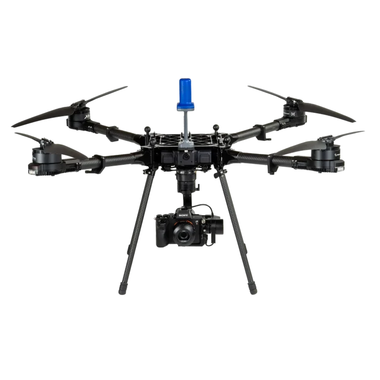
Carlson CRD1
The Versatile, Advanced, American Made sUAS Platform
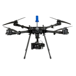
The Carlson CRD1 is an American made sUAS platform with a LiDAR, photogrammetry, bathymetry, or other payload up to 20lbs. The CRD1 is specifically designed for advanced users in the surveying, construction, engineering, mining, quarry, land development, and related industries.
The acquired data – LiDAR, photogrammetry, and bathymetric – can be processed in Carlson PhotoCapture (photogrammetry) and Carlson Point Cloud Advanced (point clouds) to create maps, surface models, design and as-built models, volume calculations, profiles/sections, and more.
The CRD1 platform can be fully NDAA-compliant with an optional controller.
For information on the available LiDAR unit, click here.
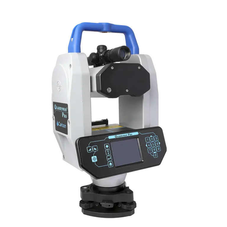
Carlson Quarryman Pro
Laser Scanning For Quarry Surveying And Stockpile Monitoring
Using Carlson‘s Quarryman Pro rock-profiling and laser-scanning system not only improves site safety, it also gives you the data to make decisions that increase productivity.
- The laser-scanning system of choice
- How it works: Coming in a single ‘Peli’ case, Quarryman Pro is lightweight and portable and can be transported easily between sites.
- Provides greater benefits than ever before: Quarryman Pro has been the must-have on-site system for quarries for over two decades.
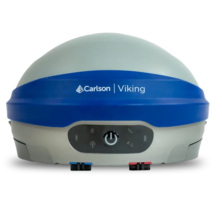
Carlson Viking
Flagship GNSS Base/Rover Receiver
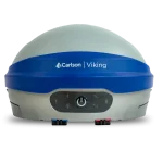
Utilizing TRIPLE-FIX technology, the America-built Carlson Viking is the ultimate solution for precision positioning in difficult environments. Used as either a base or a rover, the Viking system features a best-in-class GNSS antenna element and an integrated IMU offering centimeter-level accuracy, heightened flexibility, durability, and self-calibrating tilt compensation.
- American Made: Proudly assembled in Maysville Kentucky with components from USA and Europe, the Viking is completely Carlson designed and engineered
- Triple-Fix: Dual GNSS RTK modules and three separate RTK engines, providing not just exceptional horizontal and vertical accuracy, but essentially eliminating false fixes
- Tilt Compensation: Industry-leading, calibration-free tilt compensation delivers impressive precision even when surveying at up to 60° of inclination
- Best GNSS antenna element:Highest accuracy even when tilting at high angles, excellent multipath rejection, accurate and stable antenna phase center
- Dual hot-swappable batteries: 12+ hours of runtime and the flexibility to charge batteries in-unit with USB-C or with included dual bay charger
- Rugged & ready: IP67-rated, MIL-STD-810G tested
- Highly resilient Best in class anti-jamming and anti-spoofing
- Versatile & efficient: Use as a base or a rover with communication options including 400 & 900 MHz radio, internal mobile data modem, BlueTooth, and Wi-Fi
- Carlson SurvPC: The Viking seamlessly integrates with Carlson SurvPC and Layout field software, and features a powerful web-based UI for remote setup and monitoring
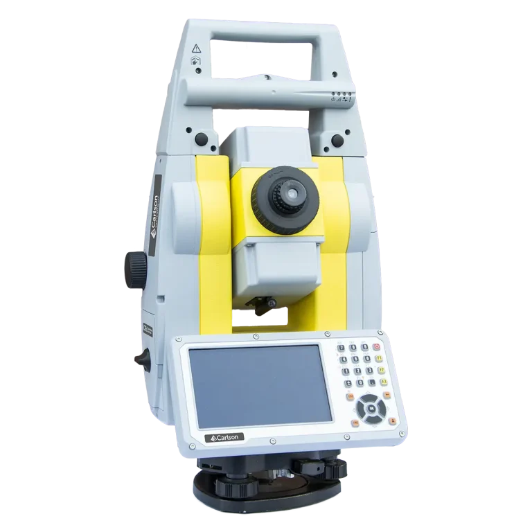
Carlson CRx Series
Robotic Total Stations
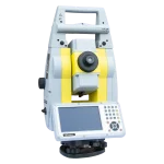
The Carlson CRx series of Robotic Total Stations provides a choice of 1″, 2″, 3″ and 5″ angular resolutions to match the application requirements.
The models are recognizable as the CRx-1, CRx-2, CRx-3 and CRx-5, and all feature the same technologies for a seamless user experience. The instruments are combined with SurvCE or SurvPC on a field computer to access the full range of Carlson survey features for efficiency and automation in a familiar environment. In addition, users have the option for installing SurvCE Basic on board for operation with the instrument only. Customers benefit from technical guidance and support for both the robotic total station and SurvCE or SurvPC from one company.
CRx Robotic Total Stations are used with SurvCE or SurvPC in a wide range of applications requiring precise angle and distance measurements such as surveying, engineering and construction.
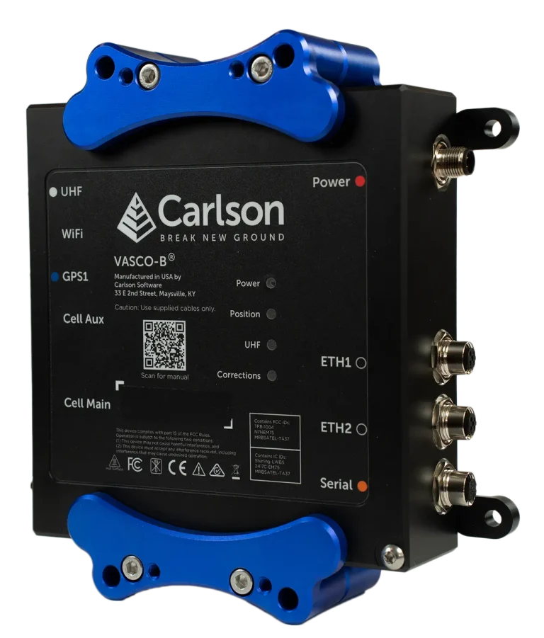
Carlson VASCO-B
Powerful, Multi-purpose American-made GNSS Base Station
The VASCO-B GNSS base station is designed for office or harsh environment installation. A flexible and easy to setup base station for all your GNSS applications, the VASCO-B can be configured as your base for a localized site or as part of a base network configuration.
- Specifications
- Communications
- Physical
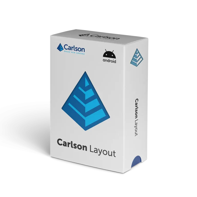
Carlson Layout
Field software for fast, simple, efficient site layout
The Android-based Carlson Layout provides an efficient, affordable, and easy-to-use site layout solution, backed with excellent service and award-winning technical support.
Unlike any other available solution, Layout supports the widest range of popular and newly released RTK GPS and conventional and robotic total stations, putting the power of Carlson’s in-field coordinate geometry at your fingertips.
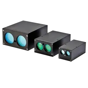
Integrable Laser Modules
Customizable Laser Technology for Your Specific Needs
Carlson’s Integrable Laser Module (ILM) is an OEM laser module designed to be integrated into third party products requiring raw distance measurement. ILM modules may be configured to output distance measurements, speed, or a customizable digital trigger. The ruggedized nature of the ILM makes the module capable of being integrated in products used in demanding industries such as transport, law enforcement, mining, quarrying, military, and drones.
Support and Service
Support You Can Count On
If your Carlson equipment needs service or repair, please log into your account or email carlsonrma@carlsonsw.com and include:
- Your contact information
- Device serial number
- Detailed description of issue

Laser Measurement Devices Resources


Software & Downloads


We at Carlson recognize the paramount importance of free choice to the professional consumer in the land industry. We are committed to providing consistent software interfaces across hardware and across disciplines.
This is the mission of Carlson Software.

Bruce Carlson, Founder
Contact
More from Carlson Software
SUPPORT
PURCHASE
ABOUT
%20--%3e%3csvg%20version='1.1'%20id='Layer_1'%20xmlns='http://www.w3.org/2000/svg'%20xmlns:xlink='http://www.w3.org/1999/xlink'%20x='0px'%20y='0px'%20viewBox='0%200%2020%2020'%20style='enable-background:new%200%200%2020%2020;'%20xml:space='preserve'%3e%3cstyle%20type='text/css'%3e%20.st0{fill:%23FFFFFF;}%20%3c/style%3e%3cg%3e%3cpath%20class='st0'%20d='M13.2,3.9v2H12c-0.4,0-0.7,0.1-0.9,0.3C11,6.3,11,6.6,11,6.9v1.4h2.2l-0.3,2.2H11v5.6H8.7v-5.6H6.8V8.3h1.9%20V6.7c0-0.9,0.3-1.6,0.8-2.1c0.5-0.5,1.2-0.8,2.1-0.8C12.2,3.8,12.8,3.9,13.2,3.9z'/%3e%3c/g%3e%3c/svg%3e)
%20--%3e%3csvg%20version='1.1'%20id='Layer_1'%20xmlns='http://www.w3.org/2000/svg'%20xmlns:xlink='http://www.w3.org/1999/xlink'%20x='0px'%20y='0px'%20viewBox='0%200%2020%2020'%20style='enable-background:new%200%200%2020%2020;'%20xml:space='preserve'%3e%3cstyle%20type='text/css'%3e%20.st0{fill:%23FFFFFF;}%20%3c/style%3e%3cg%3e%3crect%20x='4.2'%20y='7.7'%20class='st0'%20width='2.5'%20height='7.9'/%3e%3cpath%20class='st0'%20d='M4.2,5.4c0-0.6,0.5-1,1.2-1s1.2,0.4,1.2,1c0,0.6-0.5,1.1-1.2,1.1C4.7,6.5,4.2,6,4.2,5.4z'/%3e%3cpath%20class='st0'%20d='M15.8,15.6h-2.5c0,0,0-3.9,0-4.2c0-0.8-0.4-1.7-1.5-1.7h0c-1,0-1.4,0.9-1.4,1.7c0,0.4,0,4.2,0,4.2H7.9V7.7h2.5%20v1.1c0,0,0.8-1.1,2.4-1.1c1.7,0,3,1.1,3,3.4V15.6z'/%3e%3c/g%3e%3c/svg%3e)
%20--%3e%3csvg%20version='1.1'%20id='Layer_1'%20xmlns='http://www.w3.org/2000/svg'%20xmlns:xlink='http://www.w3.org/1999/xlink'%20x='0px'%20y='0px'%20viewBox='0%200%2020%2020'%20style='enable-background:new%200%200%2020%2020;'%20xml:space='preserve'%3e%3cstyle%20type='text/css'%3e%20.st0{fill:%23FFFFFF;}%20%3c/style%3e%3cpath%20class='st0'%20d='M5,5l3.8,5.6L5.1,15h0.8l3.3-3.8l2.6,3.8H15l-4-5.9L14.5,5h-0.8l-3.1,3.6L8.2,5H5z%20M6,5.5h1.9l6.1,8.9h-1.9%20L6,5.5z'/%3e%3c/svg%3e)
%20--%3e%3csvg%20version='1.1'%20id='Layer_1'%20xmlns='http://www.w3.org/2000/svg'%20xmlns:xlink='http://www.w3.org/1999/xlink'%20x='0px'%20y='0px'%20viewBox='0%200%2020%2020'%20style='enable-background:new%200%200%2020%2020;'%20xml:space='preserve'%3e%3cstyle%20type='text/css'%3e%20.st0{fill:%23FFFFFF;}%20%3c/style%3e%3cpath%20class='st0'%20d='M16.5,6.7c-0.2-0.6-0.6-1-1.2-1.2c-1-0.3-5.3-0.3-5.3-0.3s-4.2,0-5.3,0.3c-0.6,0.2-1,0.6-1.2,1.2%20C3.3,7.8,3.3,10,3.3,10s0,2.2,0.3,3.3c0.2,0.6,0.6,1,1.2,1.2c1,0.3,5.3,0.3,5.3,0.3s4.2,0,5.3-0.3c0.6-0.2,1-0.6,1.2-1.2%20c0.3-1,0.3-3.3,0.3-3.3S16.7,7.8,16.5,6.7z%20M8.1,12.7V7.3l4.8,2.7L8.1,12.7z'/%3e%3c/svg%3e)